Spatial Data Integrator v.4.2.0
Advertisement
Description
Spatial Data Integrator(SDI) is an ETL tool for geospatial. Based on Talend Open Studio, input, output and transform geocomponents are available. IO components read/write GIS formats(eg.PostGIS, GeoRSS). Transformers allow feature manipulation(eg.buf
- Rate:
- License:Freeware
- Category:Science
- Developer:talendforge.org
- Downloads:120
- Size:61.02 Mb
- Price: Free
To free download a trial version of Spatial Data Integrator, click here
To visit developer homepage of Spatial Data Integrator, click here
Advertisement
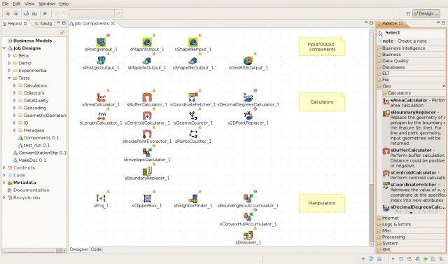
Screen Shot
Click on a thumbnail for the larger image.
System Requirements
Spatial Data Integrator requires Mac, Windows, Linux.
Spatial Data Integrator v.4.2.0 Copyright
Shareware Junction periodically updates pricing and software information of Spatial Data Integrator v.4.2.0 full version from the publisher using pad file and submit from users. Software piracy is theft, Using crack, password, serial numbers, registration codes, key generators, cd key, hacks is illegal and prevent future development of Spatial Data Integrator v.4.2.0 Edition. Download links are directly from our publisher sites. Links Spatial Data Integrator v.4.2.0 from Bittorrent, mediafire.com, uploadfiles.com, hotfiles.com rapidshare.com, megaupload.com, netload.in, storage.to, depositfiles.com and other files hosting are not allowed. The download file is obtained directly from the publisher, not from any Peer to Peer file sharing applications such as Shareaza, Limewire, Kazaa, Imesh, eDonkey, eMule, Ares, BearShare, Overnet, Morpheus, BitTorrent Azureus and WinMX.
Review This Software
More Spatial Data Integrator Software
Advertisement
Oracle Data Integrator v.11.1.1.5.0
Oracle Data Integrator is a comprehensive data integration platform that covers all data integration requirements: from high-volume, high-performance batch loads, to event-driven, trickle-feed integration processes, to SOA-enabled data services.
SuperGIS Spatial Statistical Analyst v.2.0
SuperGIS Spatial Statistical Analyst is a set of application software integrating geostatistical methods and GIS functions.
CARIS Easy View v.2.0.0.1
View your spatial data from a wide range of file types, connect to a WMS server, load ENCs and VPF libraries, visualize BASE, BAG or LOTS grids in interactive 3D, export 3D flight paths to XML or to an AVI digital video file.
WinChips v.4 7
Chips, the Copenhagen Image Processing System, is a general-purpose software package for remote sensing image processing and spatial data analysis with extensive support for NOAA AVHRR data.
Autodesk MapGuide SDF Loader v.6 5
You can use your existing digital (vector) maps in Autodesk MapGuide® software by converting them to Spatial Data Files (SDF). SDF is a special data format for delivering large amounts of data quickly over an intranet or the Internet.
HEC-GeoEFM v.1.0
GeoEFM is used in the spatial analyses phase of the EFM process to help manage and assess spatial data layers and to quantify the amount and connectivity of ecological habitats generated by different water management or ecosystem restoration scenario
MapGuide Maestro v.3.5.0.5977
MapGuide Maestro is a free application that can ease the management of spatial data in MapGuide Open Source.
HEC-EFM v.2.0.0003
HEC-EFM analyses involve: 1) statistical analyses of relationships between hydrology and ecology, 2) hydraulic modeling, and 3) use of Geographic Information Systems (GIS) to display results and other relevant spatial data.
Autodesk MapGuide SDF Component v.4.0
The Autodesk MapGuide SDF Component Toolkit is a development library that allows developers to read, write, and modify point, line, and polygon data within SDFs, the native Spatial Data File format of Autodesk MapGuide, from their own standalone appl
E-stat v.6 5
ESTAT is designed to handle any kind of spatial data with attributes.
SpatialViewer v.Beta 3
SpatialViewer is a project to develop an software for easily viewing and creating spatial data.SpatialViewer Features: 1. New maninpulation context menu on the geometry grid Allows you to combine geometries using the spatial methods STDifference,